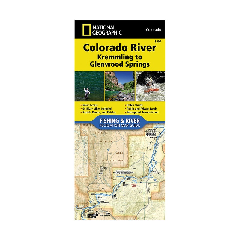
National Geographic TI00002307 Fishing and River Map, Colorado River, Kremmling to Glenwood SpringsThe Colorado River, Kremmling to Glenwood Springs Fishing and River Map Guide is designed to be the perfect companion for anyone recreating on this section o
Flash Sale Ongoing
National Geographic TI00002307 Fishing and River Map, Colorado River, Kremmling to Glenwood Springs
The Colorado River, Kremmling to Glenwood Springs Fishing and River Map Guide is designed to be the perfect companion for anyone recreating on this section of the mighty Colorado river. Traveling about 94 miles and dropping just shy of 1500 ft in elevation, the section of the Upper Colorado River represented in this map from Kremmling to Glenwood Springs winds through diverse landscapes. The river passes through Gore Canyon, Radium State Wildlife Area and Glenwood Canyon, supporting a variety of ecosystems as it morphs into a powerful and mighty waterway known for prolific insect life, quality-size brown and rainbow trout and mountain whitefish (with the occasional native cutthroat), wildlife viewing opportunities and superb cultural and historical features. The Colorado River in this sections starts with the class V+ rapids just downstream of Kremmling in Gore Canyon. After existing Gore Canyon the river flows past State Bridge and Dotsero before entering Glenwood Canyon where the river once again generates impressive rapids with names like “Upper Death”. Each section of the Colorado River is unique with a different combination of access, river flow and recreational opportunities. Each Fishing and River Map Guide includes detailed river maps at a scale of 1 in is equal to 0.5 miles.
Features:

Reviews
There are no reviews yet.